

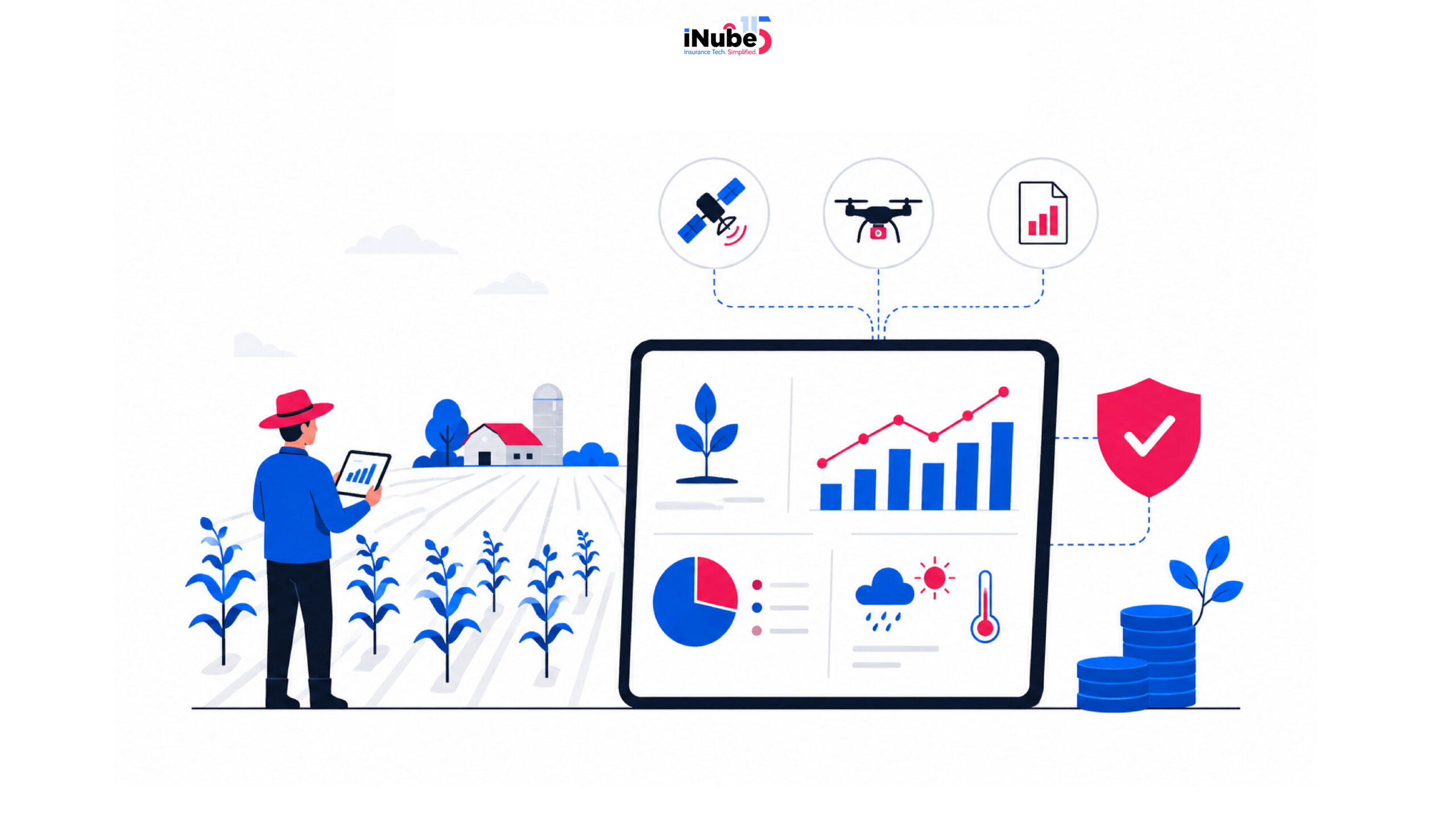
Ask any farmer who has gone for filing a crop insurance claim the old way, and the most natural and familiar response that comes in is the complex, manual-heavy process. Weeks will be passed before a payout is processed. This process is no longer a regular reality today and, hence, is becoming quite obsolete in the market. Quietly, yet steadily, crop insurance has been naturally transformed by data and thanks to the technology advancements that made data accessible at the fingertips, quite literally. Today, satellite images are being used to scan acres overnight, and weather assessments are done in near real-time.
This article explores in brief the way technology advancements are making crop insurance operations seamless while also highlighting the market landscape.
How has data become the most valuable asset over the years?
In most of the lines of insurance, the core challenge remains to price the risk accurately. In Crop insurance, this is the invisibility, which is extreme. A single insurer might be holding policies that are spread across dozens of climates, soil types, and farming practices.
This is exactly where data solves the problem. Right data can help the insurers with a lot of visibility and essentially can help them enable the following:
- Pricing the individual fields, which will be based on their specific risk profile instead of broad regional averages.
- Monitoring the growing conditions continuously and not just during the time of claims settlement.
- Detecting the potential losses before the farmer calls in a claim
- Identifying the patterns that essentially predicts the policies which are most likely to result in claims
- Settling the straightforward claims automatically without having to send anyone to the field.
Data sources that are truly changing everything
The transformation of Crop insurance is resting on the foundation of diverse, high-quality data. Take a look at more of the practical sources:
Satellite Imagery
Optical and multi-spectral images of land are captured by satellites orbiting the earth every few days. The multispectral images essentially capture light outside the visible spectrum. The most widely used application is the Normalized Difference Vegetation Index (NDVI), a measure derived from satellite data that indicates how healthy and dense crop cover is.
Insurers track NDVI readings across insured fields throughout the growing season. A sudden decline in NDVI signals potential stress, damage, or crop failure. The satellite imagery helps the insurers to verify what crop was actually planted, confirm the field boundaries, and assessing the post-loss conditions remotely before sending an adjuster to the field.
Remote Sensing
This is another one of the broader categories that essentially includes satellite imagery but also encompasses the radar data, thermal imaging, and other techniques for observing the earth from a distance. Synthetic Aperture Radar (SAR) is particularly valuable because it can penetrate cloud cover, making it useful in regions where optical satellites are frequently obscured.
Remote sensing essentially fills up the gaps that are left by the optical satellites, providing continuous monitoring regardless of the weather conditions. This is specifically critical during the storms and also flooding events, which are most likely to generate large losses.
Weather stations and meteorological data
The ground-based weather stations record temperature, rainfall, humidity, wind speed, and solar radiation at regular intervals, often hourly. The commercial weather providers aggregate this data, applying the interpolation models and selling it as clean, standardized feet.
The weather data serves multiple purposes. In underwriting, historical weather patterns essentially inform the risk pricing for specific locations. During the policy period, real-time weather data monitors exposure to adverse events. In claims, the verified weather records offer independent evidence of whether a loss-causing event actually will occur at the claimed location and time.
Soil health information
The soil surveys and the testing data essentially describe the soil composition, organic matter content, drainage characteristics, pH levels and the other factors that allow the crop to grow and also measure their resilience to drought, flooding, and other stresses.
Smarter underwriting through analytics
Data-driven underwriting empowers the insurers to evaluate the individual fields instead of assigning the same risk profile to an entire region. A farm’s soil quality, irrigation practices, weather history, and satellite observations will be influencing the premium calculations.
Parametric Insurance is emerging and bringing in the change
This is unlike the traditional indemnity-based policies, which only require field-level damage assessment; parametric products trigger payouts automatically when the predefined conditions, like insufficient rainfall or extreme temperatures are met.
Technology is the crucial differentiator here
Data collection is just one part of the equation. Today, insurers need platforms that are capable of integrating weather feeds, satellite information, government databases, and policy workflows into a unified ecosystem.
The purpose-built crop insurance solutions truly simplify the farmer enrollment, automate policy administration, support subsidy programs, and streamline claims processing while also enabling the insurers to have a seamless integration with the external data sources. With platforms like the iNube Crop Insurance system, there is a clear illustration of how specialized digital infrastructure can help the insurers to operationalize data-driven decision-making processes across the entire crop insurance lifecycle.
What’s ahead?
The future of Crop insurance system will be shaped by higher-resolution satellite imagery that will require AI-powered predictive models, Embedded insurance offerings, and increasingly sophisticated Parametric products. As the data quality significantly improves, the insurers will be gaining even greater precision in underwriting and claims while the government and the agricultural ecosystems continue to expand their digital initiatives.